"...HEAT AND HUMIDITY WILL COMBINE FOR HIGH HEAT INDICES TODAY...
HIGH TEMPERATURES ARE FORECAST NEAR 90 TODAY AND THESE READINGS
COMBINED WITH HIGH HUMIDITY IN PLACE OVER THE AREA WILL PRODUCE
HEAT INDEX VALUES IN THE MID 90S, WITH SOME UPPER 90S IN A FEW SPOTS.

THIS HOT WEATHER REQUIRES EXTRA PRECAUTIONS FOR THOSE SPENDING
SIGNIFICANT TIME OUTDOORS. KNOW THE SYMPTOMS OF HEAT EXHAUSTION
AND HEAT STROKE. WEAR LIGHT WEIGHT AND LOOSE FITTING CLOTHING AND
DRINK PLENTY OF WATER.

MORE HOT WEATHER CAN BE EXPECTED FOR THE REST OF THE WEEK."
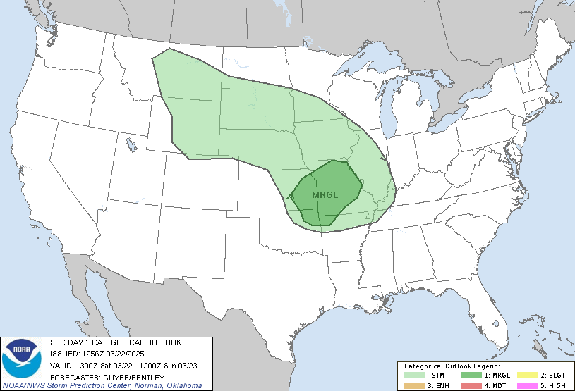
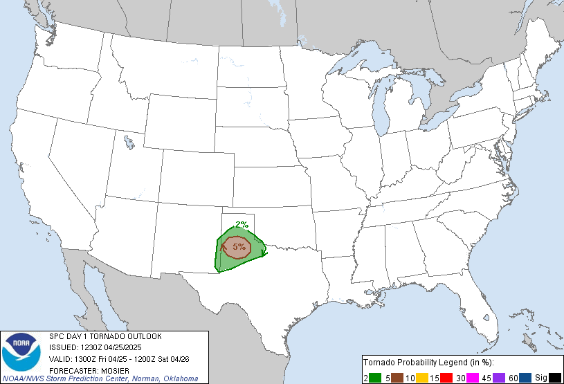
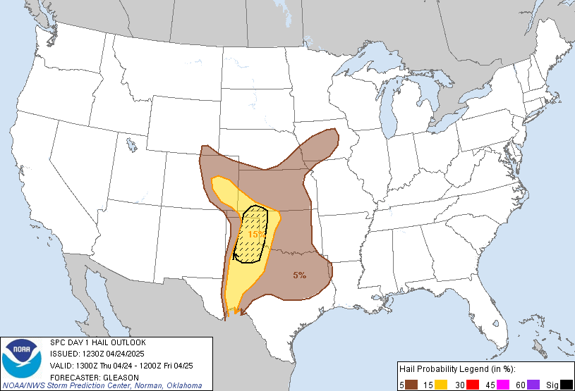
Now for today's forecast, we see a state wide risk of severe weather with strong winds on top of the risk list. The highest chance of storms will be later this afternoon. Here are some risk maps from SPC
Day 1 Convective Outlook

Wind Risk

Hail Risk

Tornado Risk

Latest Radar from NWS Sterling


