

 |
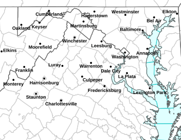
| Light Blue Represents Winter Storm Watch |
FIRST OUTLOOK ON POSSIBLE TOTALS FOR WEEKEND STORM | Mark G & Josh O
Winter Storm watches have already been posted in the zones just to our west, I feel confident those watches and then warnings should extend into Maryland by tomorrow morning.The storm should begin moving in by late Sunday morning/early Sunday afternoon. Earlier model runs had the storm starting overnight Saturday into Sunday, but this system looks to be moving a little slower and now lasting into the early hours of Monday morning especially along the Eastern Shore. Snow may begin as rain in Southern Maryland and the lower Eastern Shore, but as the cold front drops down into those areas Sunday afternoon, any rain will quickly change over to all snow.
 |
| OFFICIAL FIRST SNOW FORECAST MAP FOR FEB 19-20 STORM |
There is still some uncertainty on amounts due to a possible change in track-so we have to allow for some adjustments possibly to our forecast.
So here is our 1st call-(not final call) much of this is based on the NAM model, but I've backed off somewhat lower due the NAM's tendency to overdue amounts:
2-4 inches Western Maryland but closer to the Potomac (all snow)
1-3 inches North of Baltimore and Frederick, Upper Eastern Shore-should be all snow is this zone
3-6 inches Baltimore City on south to Bowie and Annapolis (all snow),
3-6 inches Mid and Lower Eastern Shore (except parts of Dorchester)-starts as rain (espec. south) but here we could see 6+ if changeover to snow is sooner (rain to snow)
5-7 inches DC and immediate suburbs (all snow)
6-10 inches Southern Maryland (lower PG, Charles, St Marys, Calvert) over across the bay to Dorchester County, could see +10 if changeover to snow is sooner. (rain to snow)
What to expect during and after the storm:
1. Road conditions will deteriorate by late Sunday afternoon into Sunday evening
2. Heavier bursts of snow will reduce visibility on Sunday
3. Expect possible flight and mass transit delays on Sunday afternoon/evening
4. Icy and snow covered roads overnight Sunday and Monday morning.
5. Untreated roads will remain treacherous Monday night/Tuesday morning
6. Mild trend as next week progresses through the rest of February-in essence, this could quite possibly be our last shot at getting a decent winter storm, but then again anything can happen through early April.
