

Severe Weather Possibilities | Josh Owens, Short Range and Severe Weather Analyst
(Daily forecasts and Nowcasts on Facebook and Twitter [NEW, @mymdwx])
We seem to be picking right up where we left off in the Fall of 2011 with the active weather! Already ~70 Tornadoes have been reported across the CONUS and I'm sad to say that this will not be the end.
As for us in Maryland, SPC (as of 9:00p est) has Southern Maryland and the Southern half of the Delmarva under a slight risk of Severe with the entire state as far west as Frederick county in the risk of regular storms.
The rain will start overnight and continue into tomorrow with our biggest shot at the boomers starting at probably early morning, 4-5 am time frame, and continuing into the day Friday. The thunder may wear down by lunch, but the rain will stay till late afternoon.
The biggest threats I'm seeing is the wind. If things go severe, strong winds will be the biggest thing to be concerned about. The instability is lacking for a huge tornado threat and ingredients needed to help with any sort of Hail are also lacking. Needless today some small Hail and a possible rotating storm cant be ruled out.
Maps and Advisories
 |
| SPC Current Activity Map. |
 |
| Regional Radar Still from Intellicast |
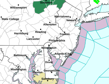 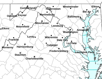 |
LEFT: NWS Sterling Map | RIGHT: NWS Mt Holly Map
|