

MILD WEEK AND THEN RAIN: Winter Analysis | Jan 24 | Mark G
Well folks not much excitement to talk about and that can be a good thing depending on your perspective. We will be trending mild this last full week of January, though not as warm as originally thought. Today will be the warmest w/ temps reaching into the mid 50s to near 60 on the lower Eastern Shore. Our chances of rain increase on Thursday, Friday and Saturday. This Saturday we could see snow which again will be more likely in far Western Maryland as has been commonly the case in this otherwise milder winter. Sunday and early next week looks colder-no snowstorms in sight at this point as we head into February-which could change as has also been the case this winter. Have a great day! (Mr G)
Maps and Advisories | Josh O
 |
| Regional Radar Still from Intellicast |
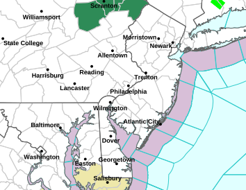 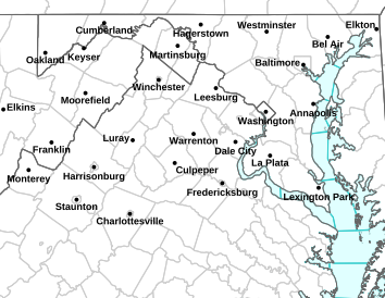 |
LEFT: NWS Sterling Map | RIGHT: NWS Mt Holly Map
|
Updated Advisory:
724 AM EST TUE JAN 24 2012

...DENSE FOG ADVISORY IN EFFECT UNTIL 10 AM EST THIS MORNING...

THE NATIONAL WEATHER SERVICE IN BALTIMORE MD/WASHINGTON HAS
ISSUED A DENSE FOG ADVISORY...WHICH IS IN EFFECT UNTIL 10 AM EST
THIS MORNING.

* VISIBILITIES...AT OR BELOW ONE QUARTER MILE AT TIMES.

PRECAUTIONARY/PREPAREDNESS ACTIONS...

A DENSE FOG ADVISORY MEANS VISIBILITIES WILL FREQUENTLY BE
REDUCED TO LESS THAN ONE QUARTER MILE. IF DRIVING...SLOW DOWN...
USE YOUR HEADLIGHTS...AND LEAVE PLENTY OF DISTANCE AHEAD OF YOU.