

Tonight looks to have winter mix situation for a good portion of the state. At this point the closer to coast you are, the sooner the changeover to rain on Saturday, but if the cold air stay in place a little longer, we could see some icing in spots espect around the Balt-Dc Metro area. No advisories at this time in the immediate Metro area, but we'll keep you updated (Read below for advisories update). I am still keeping a close eye on next weeks' warm-up and how February is shaping up. Will do a write up on early February sometime this weekend-there is some debate amongst long-range forecasters on whether we finally turn cold and snowy for February-more on that later. (Mr G)
Well this map below shows it, Winter Storm Watch, Advisory, and Warnings are posted for a lot of the western part of Maryland. NWS (http://www.erh.noaa.gov/lwx/) has up to 2 inches falling in northern reaches with may prompt some new advisories to be posted possibly (http://www.erh.noaa.gov/lwx/winterstorm/). Now we remind that folks south and east of I-95 will not see any accumulating snow, you may not even see any fall. (Josh)
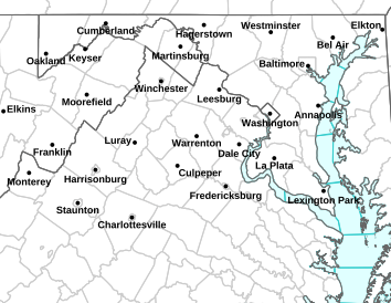 |
| Advisories fro NWS Sterling. ( http://www.erh.noaa.gov/lwx/ , http://alerts.weather.gov/cap/md.php?x=1 ) |
