

Final Call on Totals | Mr G
Our final call for the snow event will be almost similar to last night's 1st guess except the precip has started a lot sooner than every forecaster expected and has been in the form of mostly rain from DC on south. There are some reports of 2 inches in Carroll County. There will be a second batch of snow/rain that will come over night into early morning that looks weaker, but will fall further south. Here are the forecasted snow totals:
Our final call for the snow event will be almost similar to last night's 1st guess except the precip has started a lot sooner than every forecaster expected and has been in the form of mostly rain from DC on south. There are some reports of 2 inches in Carroll County. There will be a second batch of snow/rain that will come over night into early morning that looks weaker, but will fall further south. Here are the forecasted snow totals:
Southern St Marys-mostly rain, maybe some wet snow mixed in
Cecil-mainly rain
Annapolis/PG County -less than an inch
Charles/Calvert/Northern St Marys- mix to wet snow-or very little accumulation on grass
DC/balt metro- 1-2 inches
Northern/Western suburbs of Balt/DC 2-3 inches
Frederick/Washington counties 2-4 inches
Garrett/Allegeny counties 4 or more inches
Updates on oncoming Rain and Snow on Facebook and Twitter! Go-to MWC: Social for More!
Maps and Advisories
 |
| Regional Radar Still from Intellicast |
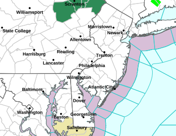 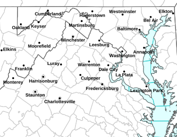 |
LEFT: NWS Sterling Map | RIGHT: NWS Mt Holly Map
|
 |
| Snow Forecast from NWS Stering |